

Introduction
Marine heatwaves are often pictured as broad patches of unusually warm water visible from space. But satellites measure the ocean’s surface, not the temperatures experienced by animals hundreds of metres below or on the seabed. New measurements from ocean sensors reveal a less visible story: heatwaves can develop at depth, sometimes on a different timeline from surface warming.
Scientists haven’t only recently discovered heat in the deep ocean. Rather, moorings, autonomous floats and underwater gliders are building a more detailed record of when and where it occurs. Their observations show that deep-sea heatwaves are distinct events, shaped by currents, seafloor geography and the slow movement of water through the ocean. Tracking deep-sea heatwaves also helps researchers understand how conditions differ between the surface and deep habitats.
The players: what each sensor can—and cannot—see
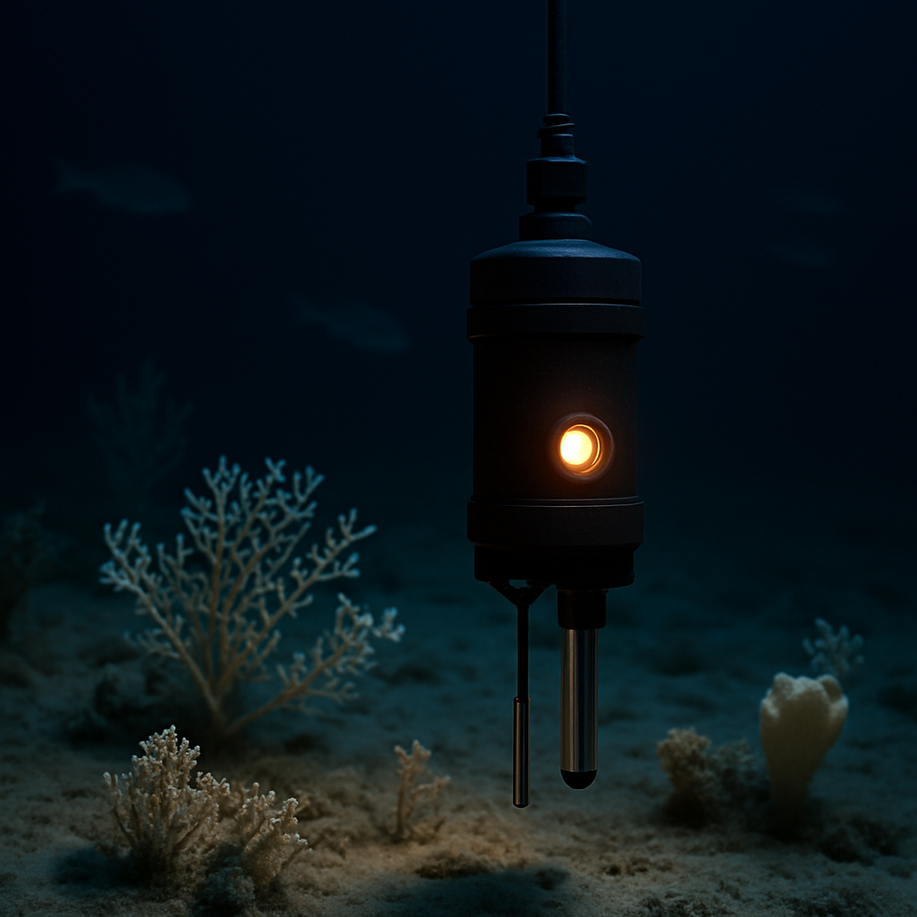
No single instrument can monitor the ocean at every depth and across every region. Satellites provide broad coverage of surface temperatures. Profiling floats repeatedly descend and rise through the water, while moored instruments stay in one place and record local changes over time. Gliders move through a region, measuring temperature, salinity and other conditions.
Each instrument fills a different role. A float can detect an unusually warm layer below the surface; a seabed instrument records the conditions experienced by bottom-dwelling life. Standard profiling floats generally sample only the upper ocean. Deep Argo floats reach greater depths, but measurements from the deepest layers are still far less common than those from the surface. This gap makes deep-sea heatwaves harder to detect and compare across regions.
Each instrument also has limits. A mooring provides a detailed timeline at one location, not a complete map. A moving float may miss a short-lived event between measurements. Researchers compare readings with local seasonal baselines because a heatwave means unusual warmth for a particular place and time—not simply a high temperature in isolation.
Key factors
Deep-sea heatwaves can occur out of step with surface events. Sun-driven warming is only part of the picture: changes in ocean circulation can carry warm water into a region at depth, while shifting currents can redirect it along continental slopes or across underwater ridges. These pathways help explain why deep-sea heatwaves may begin far from where their effects are eventually measured.
That’s why a calm-looking surface doesn’t guarantee stable conditions below. Near the seabed, temperatures can rise even when surface measurements show little sign of a major event. A strong surface heatwave, meanwhile, doesn’t necessarily reach the deep ocean. The connection depends on local currents and the structure of the water column, so deep-sea heatwaves can develop independently of surface warming.
Seafloor shape also matters. Shelves, canyons and slopes steer currents, sometimes concentrating or redirecting warm water. Deep-sea heatwaves can therefore be highly local: nearby sites may experience different temperatures or different timing. Sparse monitoring makes these contrasts easy to miss, so individual records are most useful when compared with data from a wider network.
Duration matters as much as peak temperature. Deep water often changes more slowly than surface water, so a warm anomaly may linger rather than disappear after a brief shift in weather. Even a modest temperature rise can stress organisms if it lasts long enough. Sensors record the physical exposure; understanding its biological effects requires observations of marine ecosystems, too. Long-lasting deep-sea heatwaves may expose organisms to sustained stress that a short-lived temperature spike would not capture.
It’s important to distinguish detecting a heatwave from measuring its effects. Deep-water species are adapted to relatively stable conditions, and some have little room to move when temperatures change. Responses vary by species and habitat. Warming can affect oxygen availability and the timing of food supplies, but a temperature reading alone can’t show how populations will respond or prove that a particular ecological change was caused by one event.
The match scenario: how a deep-sea heatwave unfolds
Imagine a current carrying warmer water into deeper layers along a continental slope. A moored sensor records a rise in temperature near the seabed; a passing glider samples the water above; and a float later captures the broader profile. The surface may show no clear warning, but together the instruments reveal warm water moving through a part of the ocean satellites cannot see. This is one way deep-sea heatwaves can emerge without an obvious surface signal.
Researchers compare the anomaly with the site’s usual seasonal conditions to determine whether it qualifies as a heatwave. If the warmth persists, repeated readings establish its duration and depth. Salinity and current measurements help distinguish incoming warm water from local changes. Further observations show whether the event is spreading, weakening or returning.
That’s the value of a sensor network: it provides a sequence, not just a snapshot. One instrument detects a change; others put it in context. With enough observations, scientists can distinguish a brief fluctuation from a sustained event and determine whether it affects a broad region or a particular seafloor feature. Such coordinated records make it easier to track deep-sea heatwaves and compare their development over time.
Conclusion
New evidence is changing our understanding of marine heat. Deep-sea heatwaves aren’t simply surface events travelling downward; they can be driven by processes at depth, beyond the reach of satellites. Ocean sensors are making these hidden events measurable, while showing how uneven the record remains.
The next challenge for climate monitoring is to collect consistent data across depths, seasons and regions. Better coverage will help scientists estimate how often deep-sea heatwaves occur, how long they last and which habitats face the greatest exposure. One lesson is already clear: the ocean’s heat budget can’t be understood from the surface alone, and the ecosystems below experience a more complex, often less visible climate.